Table of Contents
As a technical engineer at G-Link, I often see ISPs struggling with manual fault locating. They dispatch trucks to general areas, wasting hours searching for the exact break. Here is how our M-series modules change that paradigm.
An OTDR module with GIS integration allows ISPs to locate fiber breaks within meters on a live map, reducing MTTR (Mean Time to Repair) by up to 70%. By embedding a Built-in OTDR Module into your network management system, you transform passive fiber maintenance into proactive, automated monitoring.
How Does a Built-in OTDR Module Communicate with Your GIS?
Many clients ask us: “How do we bridge the gap between hardware hardware signals and our software map?” The secret lies in the architecture of the Built-in OTDR Module.
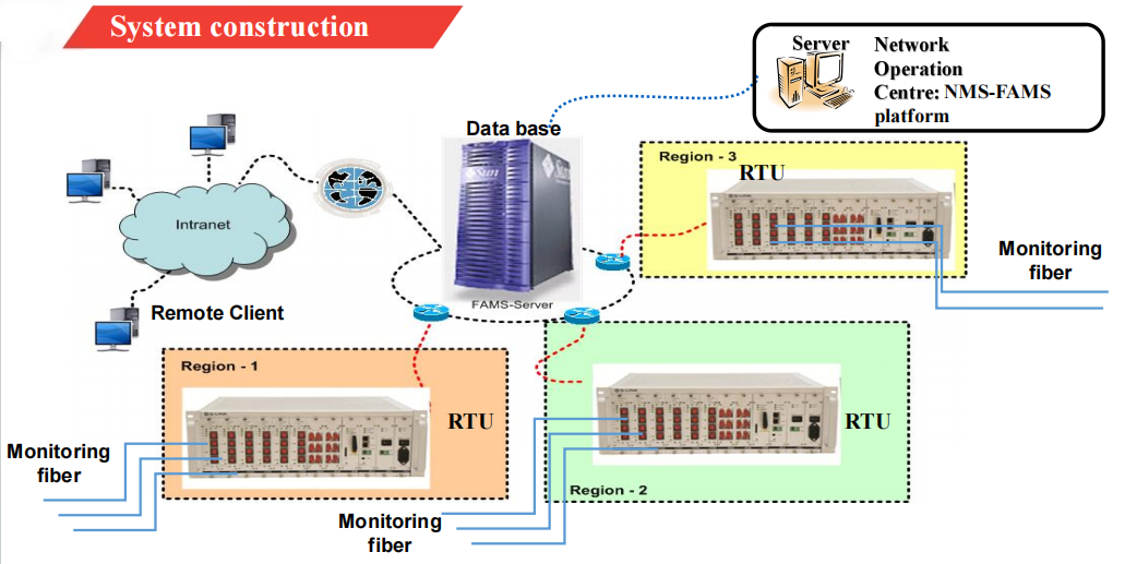
Unlike a handheld device, an embedded module (like our G-Link M-Series) operates as a sensor. It doesn’t just display a curve on a screen; it analyzes data and sends specific coordinates via TCP/IP to your server.
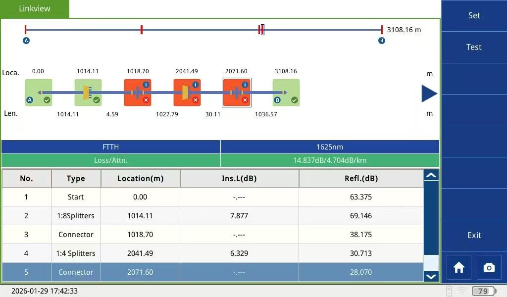
When a fiber cut occurs, the module detects the reflection peak. The MCU (Micro Control Unit) collects this distance data and transmits it to your GIS via SNMP or API. The GIS then overlays this distance onto the physical cable route, highlighting the exact break point on the map.
What Are the Key Differences Between Handhelds and Embedded Modules?
You might be wondering, “Can’t I just use my existing handheld OTDRs?” While handhelds are excellent for installation (like our TR600 Series), they are not designed for 24/7 surveillance.
Let’s look at the comparison table below to understand why a Built-in OTDR Module is superior for asset management.
| Feature | Standard OTDR Handheld | Embedded Built-in OTDR Module |
| Primary Use | Field installation & Spot checks | Continuous 24/7 Monitoring |
| Remote Control | No (Requires on-site technician) | Yes (via API/MCU/Ethernet) |
| GIS Integration | Manual data entry (Slow) | Automatic Real-time Sync |
| Response Time | Hours (Travel time included) | Seconds (Instant Alarm) |
| Size & Form | Bulky with Screen | Compact (e.g., G-Link M4000D is only 143x89mm) |
Link to:https://glinkotdr.com/products/otdr-module-system-integration/
Which Specifications Matter Most for System Integration?
When selecting a Built-in OTDR Module for your GIS system, we recommend focusing on three core specifications:
- Communication Protocol: Does it support standard Ethernet or RS232? Our modules support standard Ethernet interfaces, making integration with your NMS (Network Management System) seamless.
- Dynamic Range: For long-haul backbone networks, you need high power. We offer modules with up to 45dB dynamic range, covering distances over 150km.
- Online Monitoring Capability: To monitor active fibers without disrupting service, you must use 1625nm or 1650nm wavelengths with built-in filters.
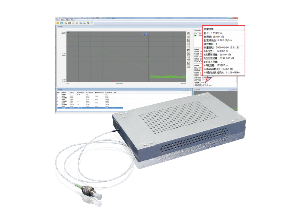
For example, our M4000D-FU model is specifically designed for this purpose. It supports remote command execution, meaning your central server can trigger a “test” command automatically whenever a loss of signal (LOS) alarm is received from your active equipment.
Is It Difficult to Integrate G-Link Modules into Our System?
Not at all. We understand that software integration is often the biggest hurdle.
At G-Link, we don’t just sell hardware. We provide a comprehensive SDK (Software Development Kit) and technical protocol documentation. Our modules act as a “black box” — you send a command, and we return the analysis result (distance, loss, event type). Your team can focus on the GIS UI visualization while we handle the optical physics.
For clients who need a turnkey solution, we also offer the TMS400 Optical Cable Monitoring System, which already includes the GIS mapping and resource management features.
To learn more about the standard OTDR data format, you can check the Bellcore GR-196 standard on Wikipedia.
Ready to Upgrade Your Network Intelligence?
Integrating a Built-in OTDR Module is the smartest investment for reducing network downtime. Don’t let fiber breaks disrupt your customers’ experience.
If you are a system integrator or an ISP looking to build your own GIS-based monitoring system, we are here to help.
Or, chat with us directly via WhatsApp to discuss your specific project requirements!